Building date: Gone 1996
Original use: Smokehouse
Corner structures:
Mortar application and content:
Types and uses of stones:
Types and choice of windows:
Structures with similar masonry details:
Masons who worked on building: Carl Coker
Unique features:
Map views courtesy Google Maps. Google Maps street level view is blocked by dense vegetation. Address and exact location provided by Google Earth is approximate; 42°54'31.32"N 77°52'52.55"W. Specific location of the smokehouse other than south of the residence on the property is unknown. Current owner of record, Volkmer as of the 2020 Tax Roll.
Editor's Note: The actual location cannot be determined without further information or deed book research since the last recorded owner's name William Cargas no longer owns property in the area. The current owner Volkmer at 1720 Main St., Rt. 36 is at the approximate location but has not been verified.
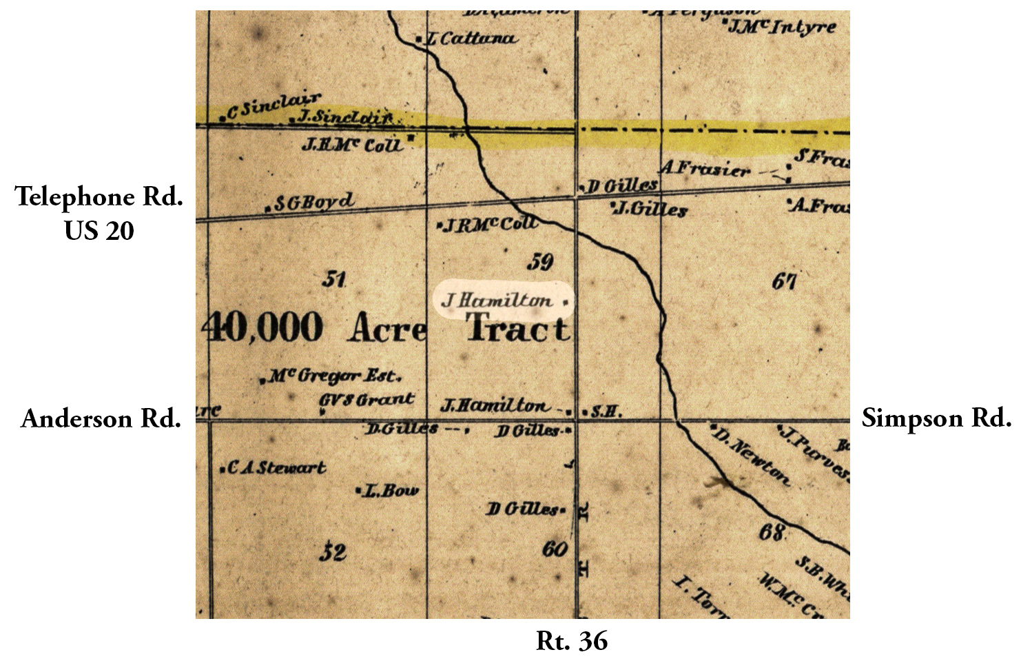
Town of York and Livingston County Maps.
Arthur Donnan¹ also filled out a survey sheet for the William Cargas smokehouse with a few more location details. He also noted that it was a "ruin" at that time. All the homes along that stretch look newer, so I'm not sure of the location, but you could check the 1852 and 1858 maps. Noted "Gone 1996" on another list by Pat Schaap², when there apparently was a re-survey of cobblestone structures.
¹ Arthur Donnan, former York Town Historian.
² Pat Schaap, former Livingston County Historian.
Permanent File of Cobblestone Structure
 1858 Livingston County Map Hamilton excerpt.jpg |  Images Not Available.jpg |
¹ 1858 Livingston County Map excerpt courtesy Library of Congress.
